


6,9 km | 8,9 km-effort

Tous les sentiers balisés d’Europe PRO


Kostenlosegpshiking-Anwendung
 SityTrail
IGN / Geografische Institute
SityTrail World
Die Welt öffnet sich für Sie
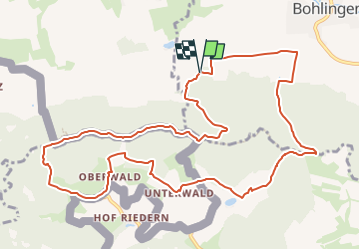
Tour Zu Fuß von 12,4 km verfügbar auf Baden-Württemberg, Landkreis Konstanz, Singen (Hohentwiel). Diese Tour wird von SityTrail - itinéraires balisés pédestres vorgeschlagen.
Trail created by Hegau Tourismus e.V..
Symbol: stilisierte Hegaugipfel (gelb/blau/pink/grün) auf weißem Grund
Website: https://www.hegau.de/Das_Kegelspiel.280.html
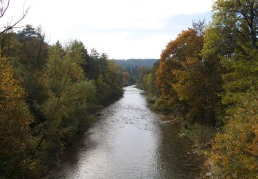
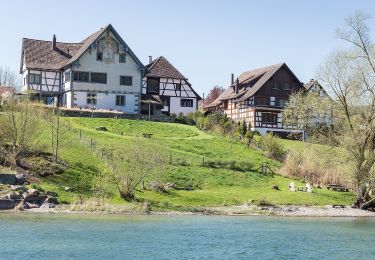
 - Hegauer Kegelspiel: Albertine-Steig - Photo 1")
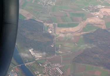
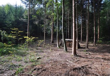
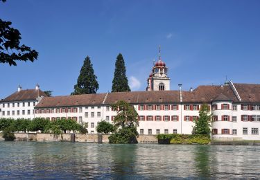
 - Hegauer Kegelspiel: Albertine-Steig - Photo 2")
Zu Fuß
Zu Fuß
Zu Fuß
Zu Fuß
Zu Fuß
Zu Fuß
Zu Fuß
Zu Fuß
Zu Fuß